10 Really Weird State Borders And Why They Exist
Get 15% off and a FREE gift at Huel when you use my code (geoff) at www.huel.com/geoff
?️ Taiwan's Empty East Coast: https://youtu.be/WSz-42FVU8w
--
? What about Oklahoma's panhandle? https://open.substack.com/pub/geographicgeoff/p/oklahomas-strange-panhandle
--
? Find me elsewhere: https://linktr.ee/geographybygeoff
?️ Map store: https://geoffxmuirway.com/
The United States is made up of 50 smaller, semi-autonomous states that each have their own borders. Borders that decide, just like with independent countries, what natural resources can be extracted and sold by each state. This means that, as states were being formed and created, their respective borders got weird!
In this video, I'll cover my top 10 favorite weird state borders and how they were created. The following states are covered:
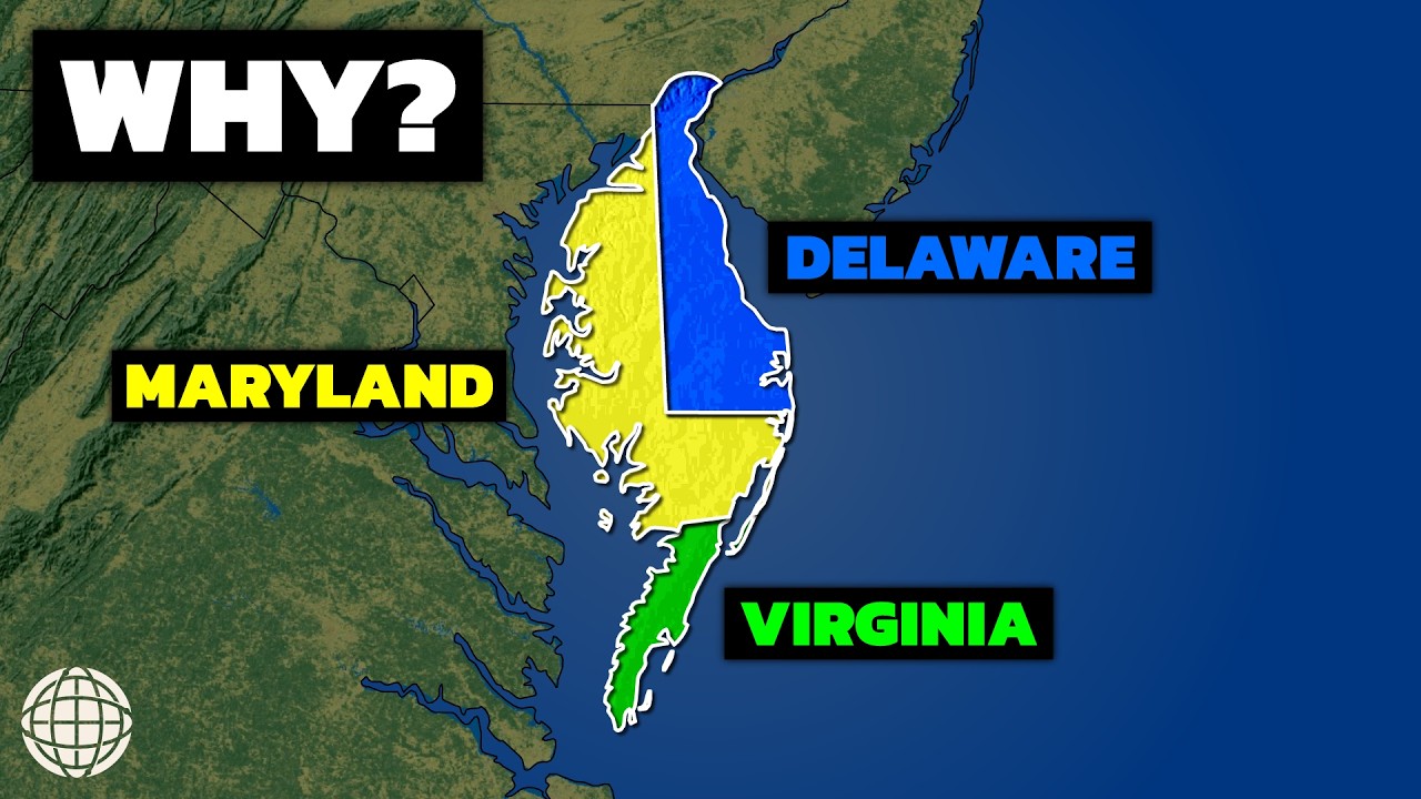
1. The Delmarva Peninsula trifecta
2. Maryland's long narrow strip
3. West Virginia's panhandle
4. Michigan's Upper Peninsula
5. The Mississippi River's exclaves
6. Missouri's bootheel
7. The Louisiana shoe
8. The square states
9. Idaho's northern panhandle
10. Nevada's southern triangle
--
Stock footage and music acquired from www.envato.com, www.storyblocks.com and videvo.net.
If you think there's been an error in using a video clip, please contact me.
This has been a production of Sound Bight Media (soundbight.com)
?️ Taiwan's Empty East Coast: https://youtu.be/WSz-42FVU8w
--
? What about Oklahoma's panhandle? https://open.substack.com/pub/geographicgeoff/p/oklahomas-strange-panhandle
--
? Find me elsewhere: https://linktr.ee/geographybygeoff
?️ Map store: https://geoffxmuirway.com/
The United States is made up of 50 smaller, semi-autonomous states that each have their own borders. Borders that decide, just like with independent countries, what natural resources can be extracted and sold by each state. This means that, as states were being formed and created, their respective borders got weird!
In this video, I'll cover my top 10 favorite weird state borders and how they were created. The following states are covered:
1. The Delmarva Peninsula trifecta
2. Maryland's long narrow strip
3. West Virginia's panhandle
4. Michigan's Upper Peninsula
5. The Mississippi River's exclaves
6. Missouri's bootheel
7. The Louisiana shoe
8. The square states
9. Idaho's northern panhandle
10. Nevada's southern triangle
--
Stock footage and music acquired from www.envato.com, www.storyblocks.com and videvo.net.
If you think there's been an error in using a video clip, please contact me.
This has been a production of Sound Bight Media (soundbight.com)

Geography By Geoff
A geography channel with a specific focus on population geography.
New mainline YouTube episodes premiere every Tuesday at 2:00pm PT.
New 60 Second Cities episodes premiere every Thursday at 11:00am PT.
Find me: https://linktr.ee/geographybygeoff
...